Where does “Sparky” the Trolley go?
Can the trolley help me explore Historic Downtown Branson?
During daylight hours, hearing Sparky’s clanging bell around Historic Downtown Branson and seeing the nostalgic looking red trolley cars cruise past, new visitors wonder – where does Sparky go and can the trolley cars help me explore the downtown area?
Yes, to both questions. Here are answers to other questions:
If you’d like to park your vehicle, then stroll to numerous places in the downtown area, the trolley can be just the free ticket you need to give your tired dogs a break before continuing on.
Where do I get trolley route maps?
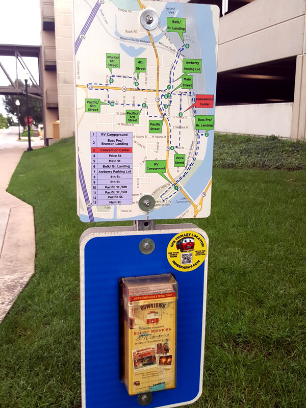
Trolley route maps are available at stops.
STOP 1: Lakeside RV Park
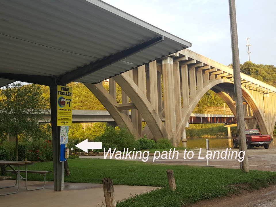
If you’re riding Sparky from downtown, and are in a walking mood, you can get off at Trolley Stop 1 and walk to Branson Landing, via the walking and bike path you will see traversing under Taneycomo Bridge and stretching along Lake Taneycomo’s picturesque shoreline, past the expansive southside parking area of Branson Landing to the numerous stores at Branson Landing and the well visited Branson Landing Fountains, then continuing past the northside parking area of Branson Landing and to treelined North Park. Need a rest? There are benches along the shoreline.
If you’re visiting Branson in your RV and are camped at Lakeside RV Campground, you can jump on Sparky at Stop 1 and be on your way to most anywhere in the Historic Downtown Branson area.
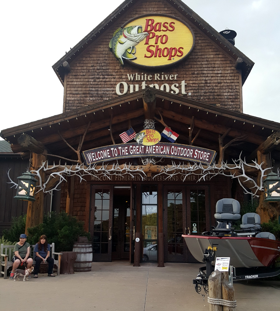
STOP 2: Bass Pro Shops /Branson Landing South
Stop 3: Branson Convention Center & Parking
Spark Stop 3 is on Sycamore St. just a block north you will find the giant Branson wall mural popular for selfies and group photos ( corner Sycamore & Main).
Diagonally across from the mural is Starbucks and a left turn onto Main St. will take you to the shops and restaurants of Historic Downtown Branson
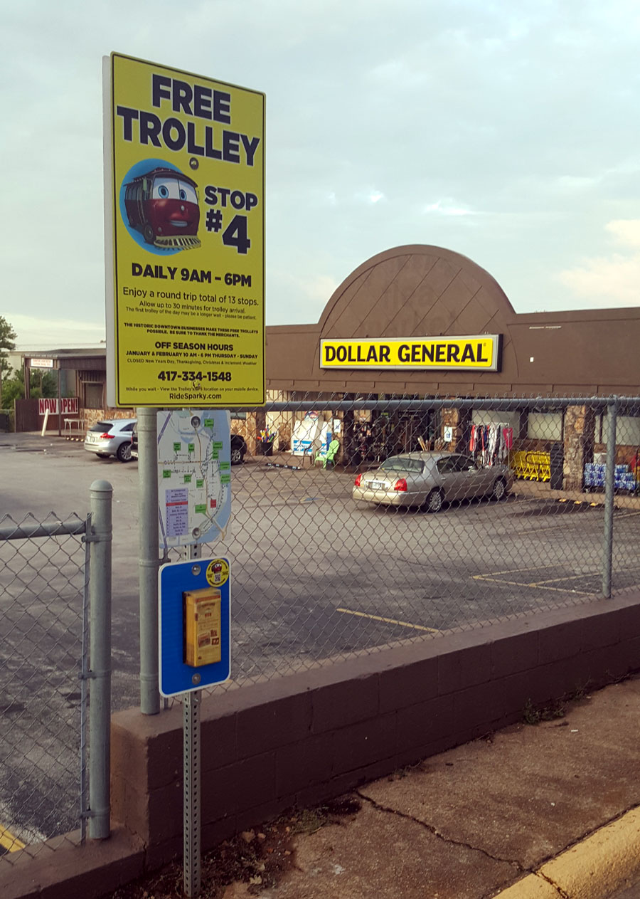
Stop 4: Price Street
Looking for a Dollar Store in the downtown area?
No problem! Hop on Sparky and get off at Trolley Stop 4.
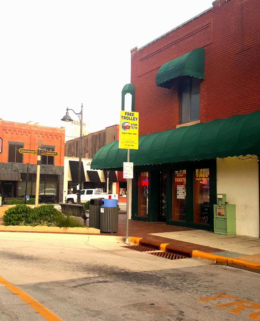
Stop 5: Intersection of Main and Commercial Streets
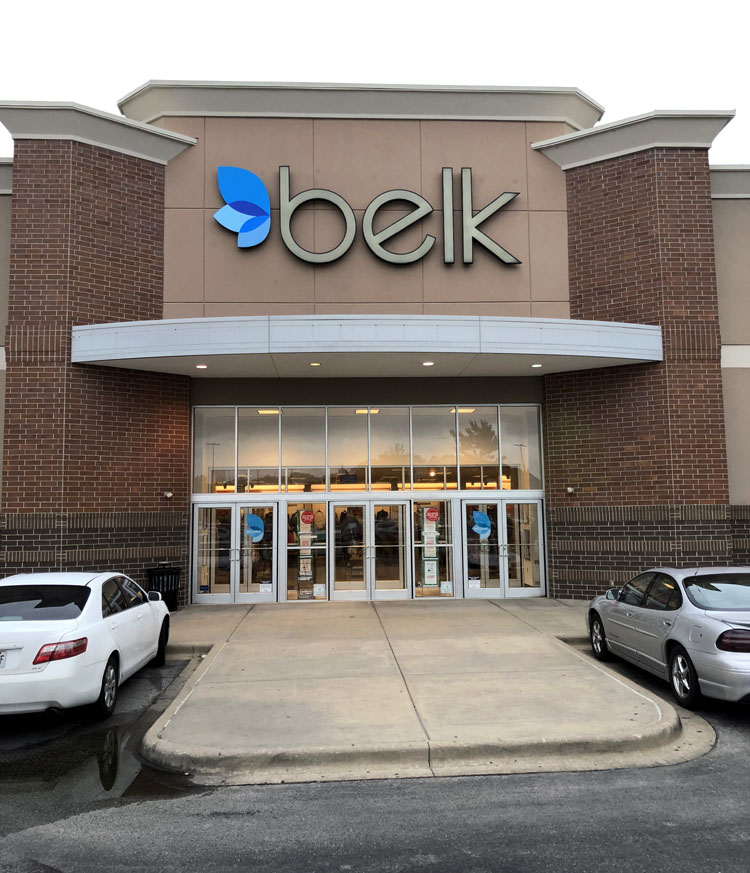
Stop 6: Belk/Branson Landing North
This stop will get you access to the north side of Branson Landing shops and restaurants, the walking route along Lake Taneycomo and North Beach Park.
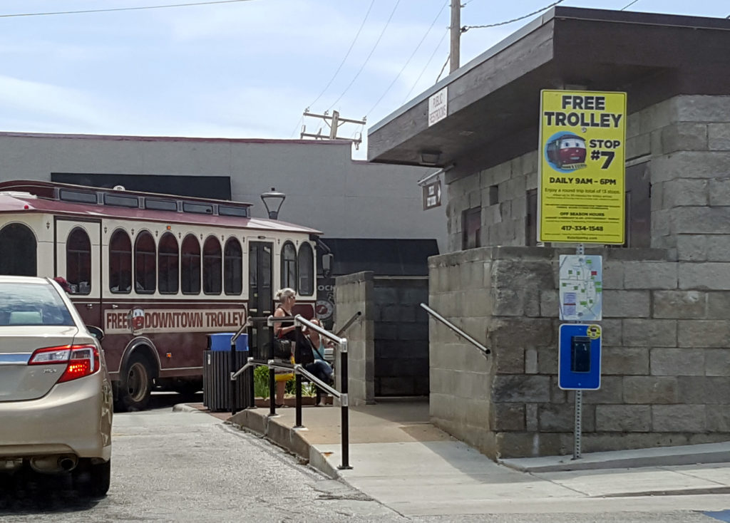
Stop 7: Awberry Parking Lot
This stop is in front of Public Restrooms, the Awberry Parking Lot (free 3-hour parking) also near motor coach parking, shops along Commerical St., a bank and juice and coffee bar.
Stop 8: 4th Street
This stop gets you walking distance access to banks and fast food restaurants on the on the south side of Main St.
Stop 9: 6th Street
At this trolley stop, you can walk to fast food restaurants including McDonald’s, Chick-fil-A, Casey’s gas station and convenience store, CVS Pharmacy. Across Main St. (on the other side of the street) are banks, and a Wendy’s. There is a pedestrian crosswalk across Main St. with flashing lights, but exercise much caution vigilance if crossing here. Traffic can move swiftly here coming thru this “hill” inclined section of Main St. To access places on the other side of Main St. (south side), it might be better (and perhaps safer) to get off the trolley at Stop 8.

Stop 10: Pacific Street at 6th Street
Stop 11: Pacific Street and 3rd Street
Stop 12: Pacific Street and Commercial St.
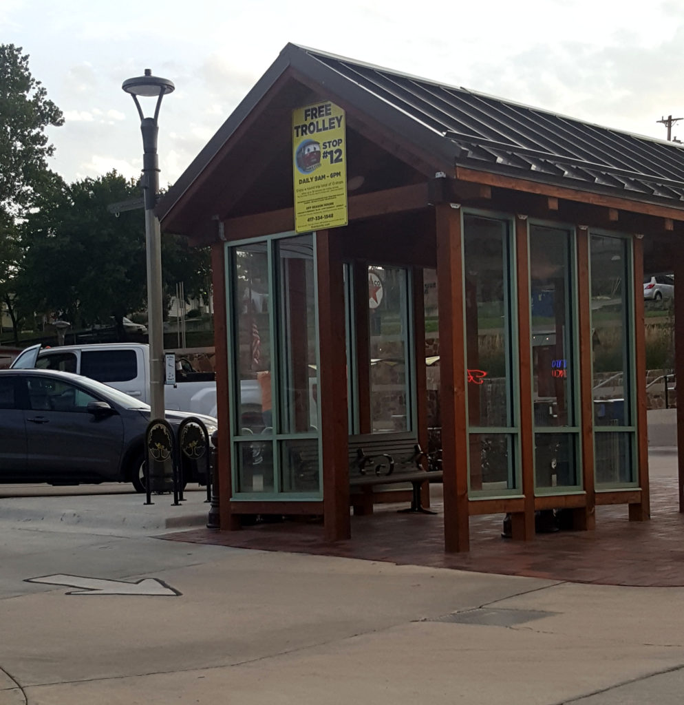
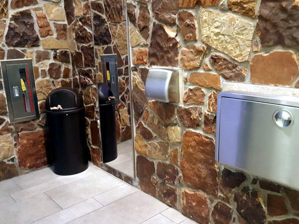
This stop is at Liberty Park. Here you will find restrooms.
Are the restrooms clean?
As of this posting — Yes! The city does a great job of maintaining them.
Stop 12 at Liberty Park will give you access to shops along Commercial St. and the Centennial Museum. Admission to the museum is free and well worth popping in. (See Things to Do Historic Downtown Branson post). There is also a bank near-by. Walk west on Pacific St., a short block, and you will see Bus Hwy 65 (Veterans Blvd). There are some shops on Pacific including a beauty shop. Take a right onto Bus Hwy 65 and you will find more shops, including a barbershop and a magic shop.
The walk up Pacific has a steep grade and some steps, but the sidewalk has a wheelchair friendly ramp.
Stop 13: Main and Commercial St.